The Batu Maung Atlas
Penang's south-east corner, chapter by chapter.
Where you are, how you cross, where people work, how you get around, what daily life asks, what the decade brings and who it suits — then the flagship. Read it in order, or start with the chapter you need.
- Second Bridge
- Mutiara Line, under construction
- Silicon Island, reclaimed so far
- M Amaya, Southbay
Chapter 1
Where you are
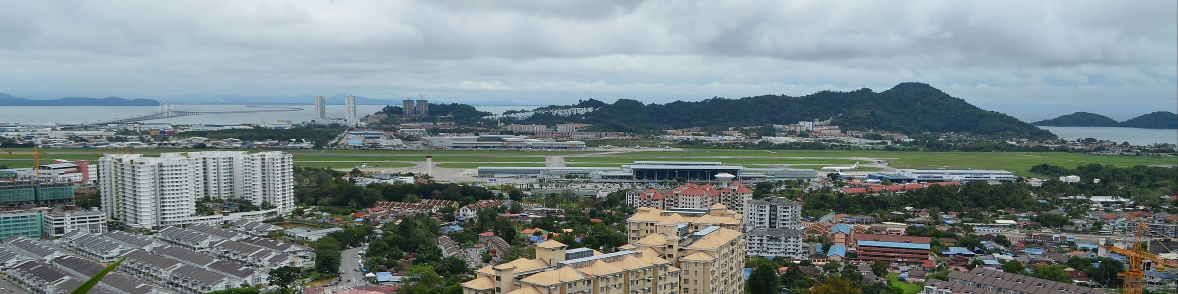
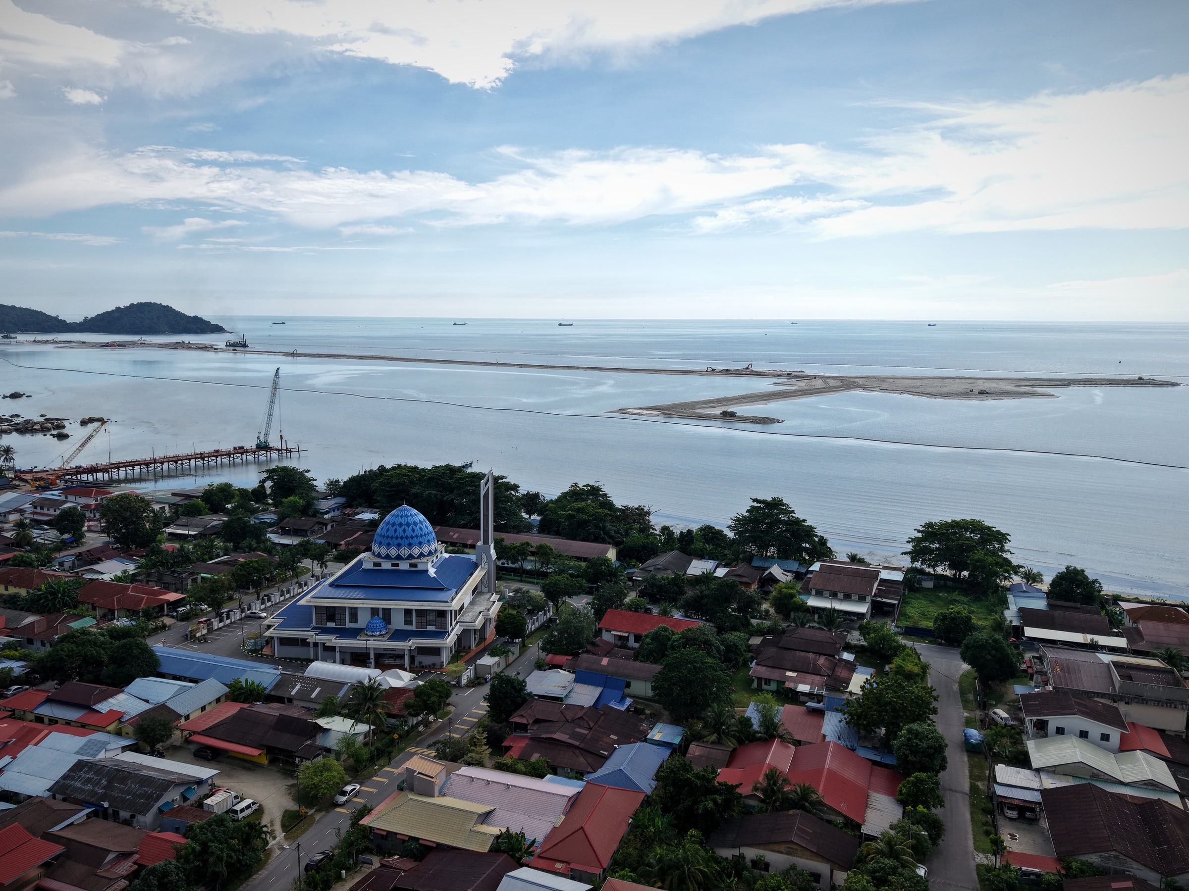
The last corner of Penang Island before the strait: a fishing coast, a hill with a fort on it, and the place where the Second Bridge comes ashore.
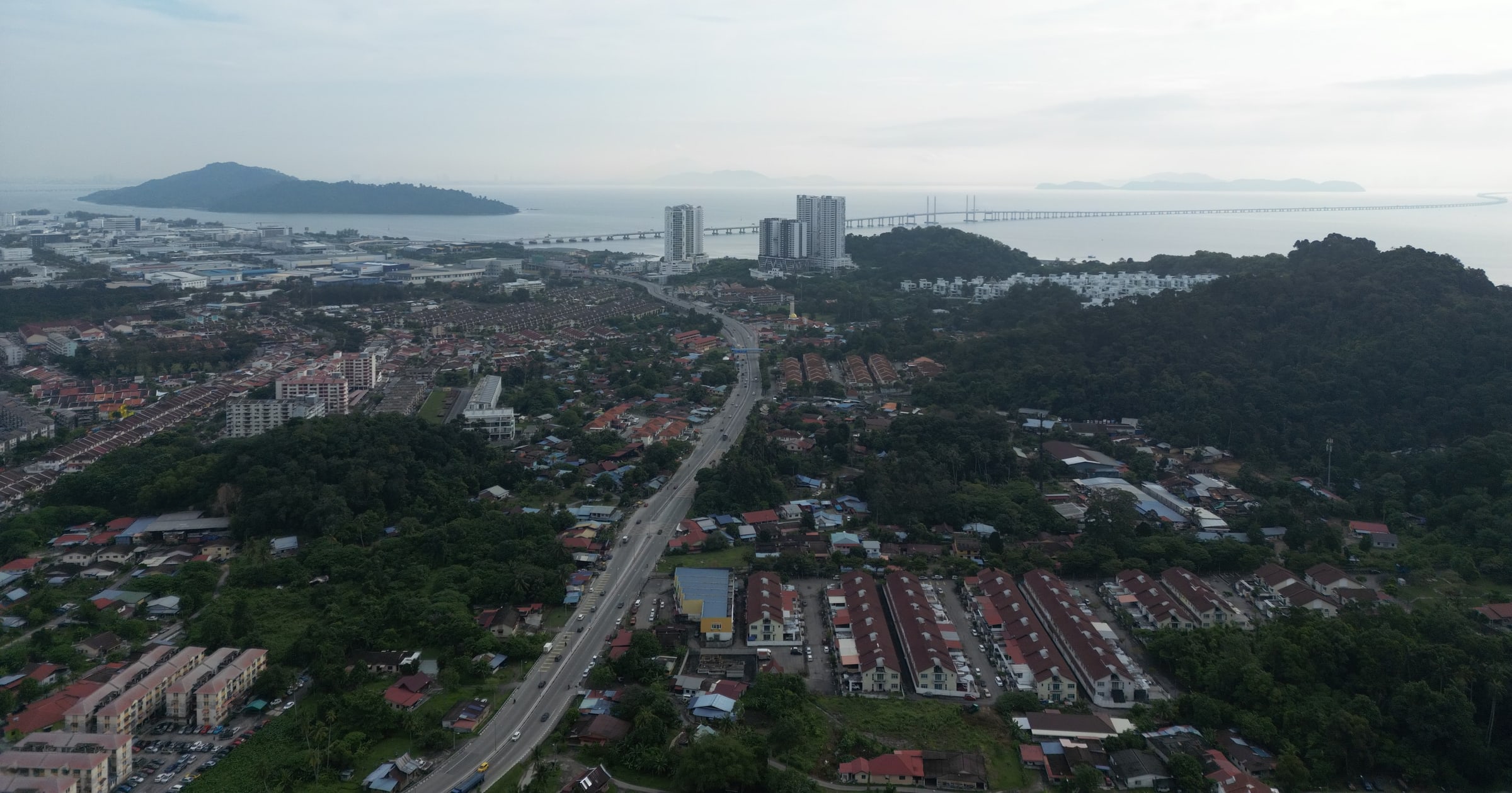
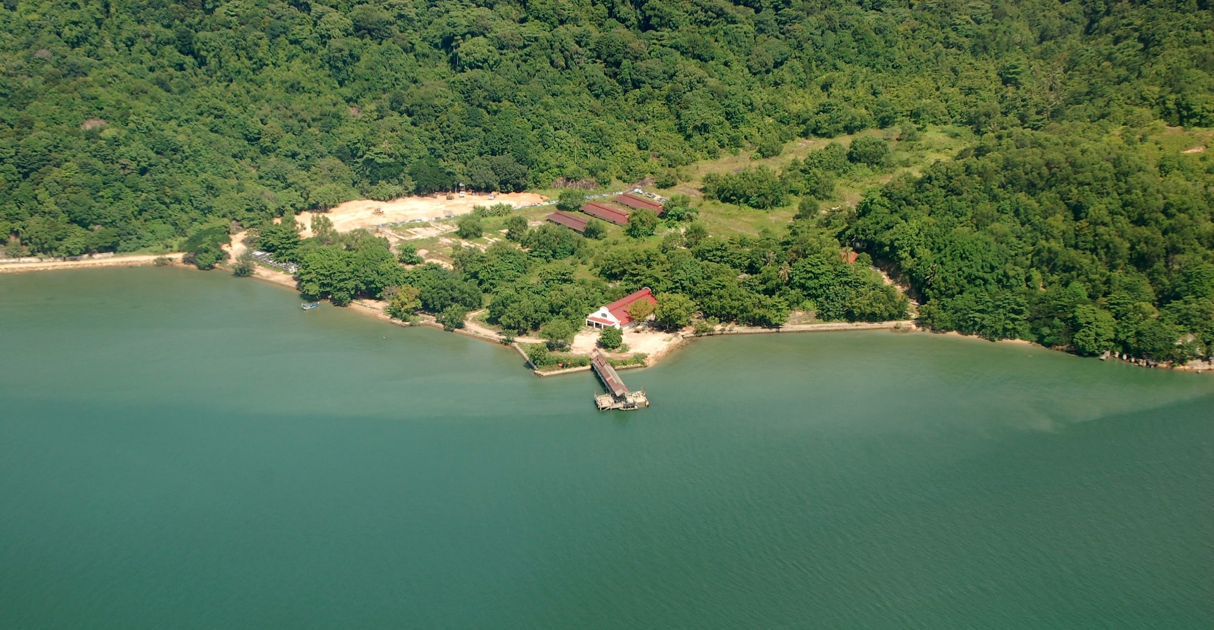
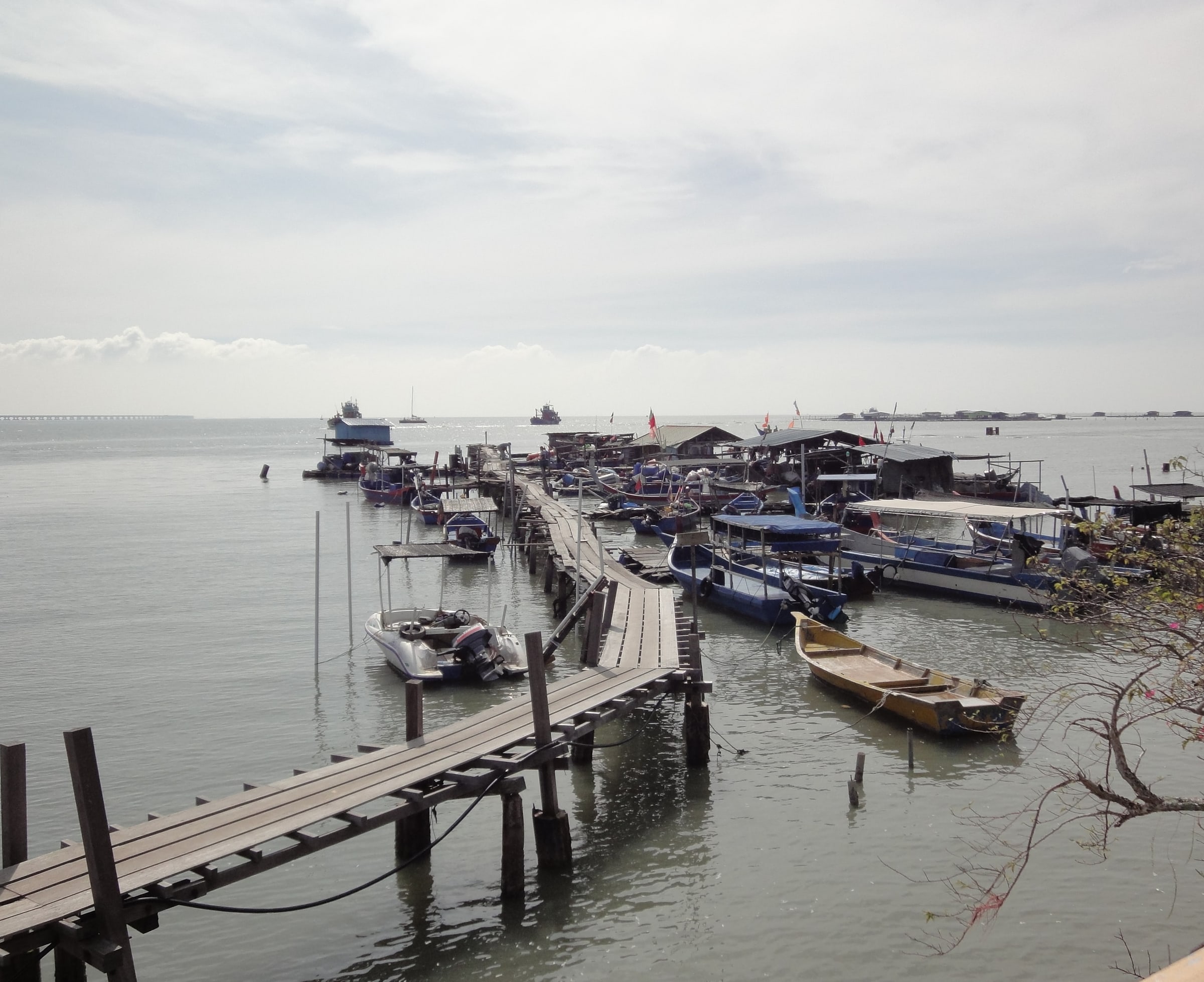
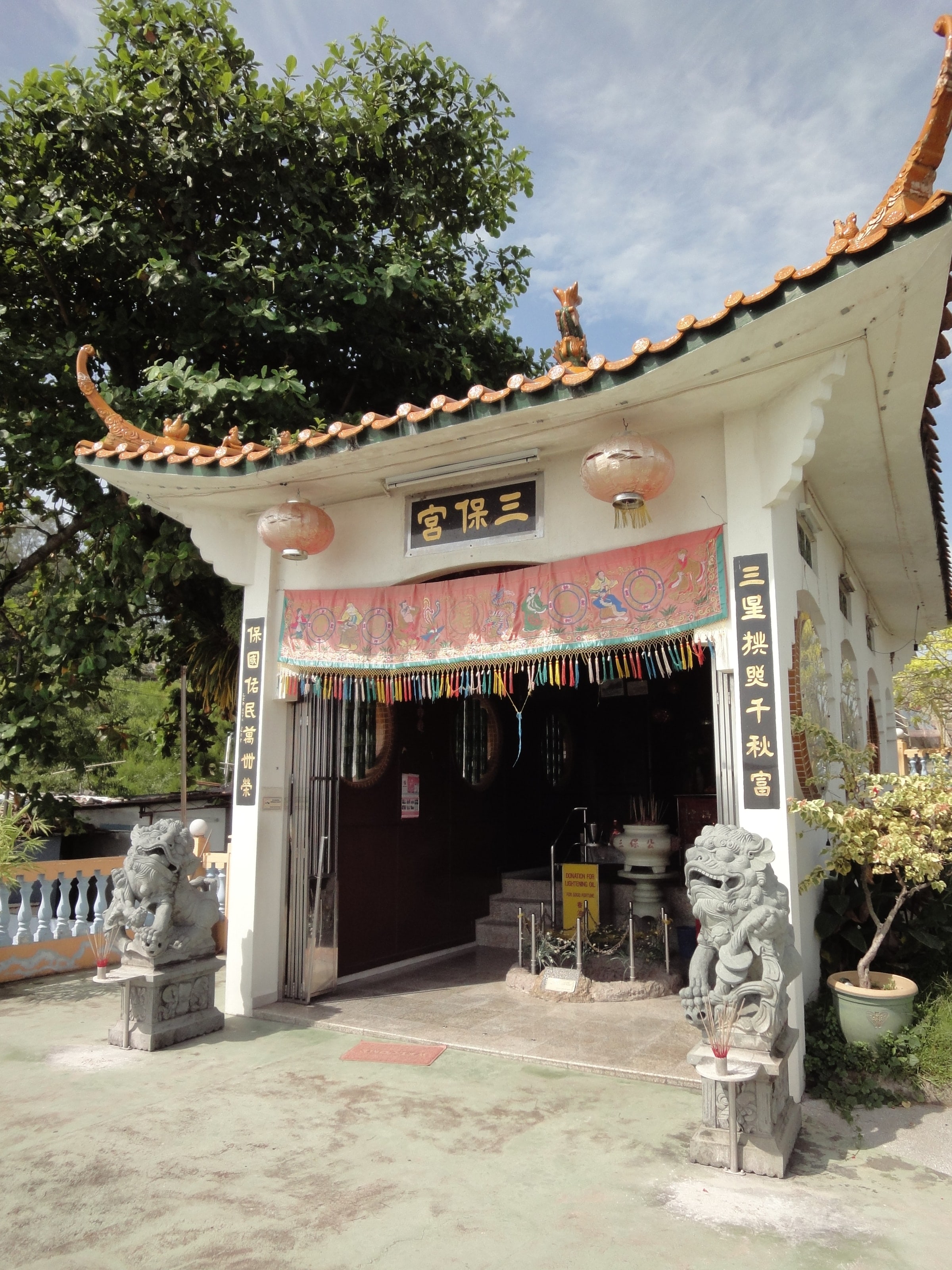
Batu Maung sits at the south-eastern tip of Penang Island. It is still a working coast. LKIM runs a fisheries complex here, the national Fisheries Research Institute has its headquarters here, and so does WorldFish, the international research centre.
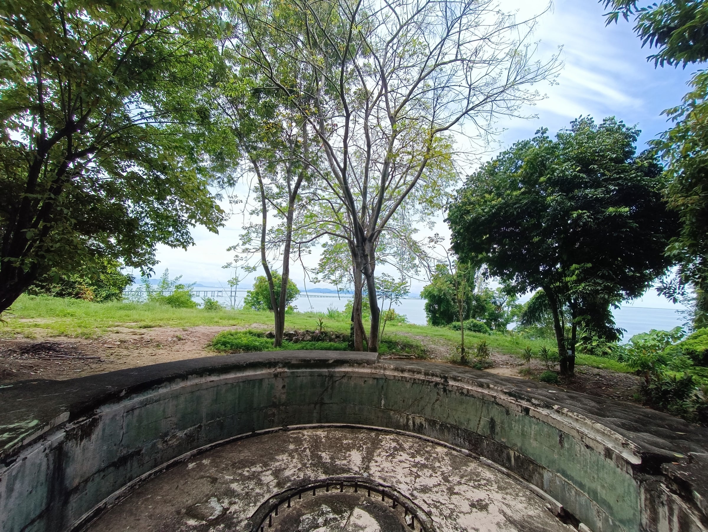
On the hill above, a 1930s British fort has been the Penang War Museum since 2002. On the headland, the Sam Poh Footprint Temple is built around a mark in the rock that devotees attribute to Admiral Zheng He. Across the channel lies Pulau Jerejak — a leprosy settlement from 1871, a prison from 1969 to 1993, and largely forest today.
Southbay is the planned township on the coastal side of Batu Maung, begun by Mah Sing in 2009, with Southbay Plaza beside it. M Amaya is its newest address.
- 5.285°N CoordinatesThe island's south-east tip
- 1.5km Penang War MuseumThe hill that gives the district its horizon
- Adjacent Southbay PlazaThe everyday errand, next door
Chapter 2
The crossing
Malaysia's longest bridge lands at Batu Maung. For a household here, the mainland begins at the district's edge, not across the island.
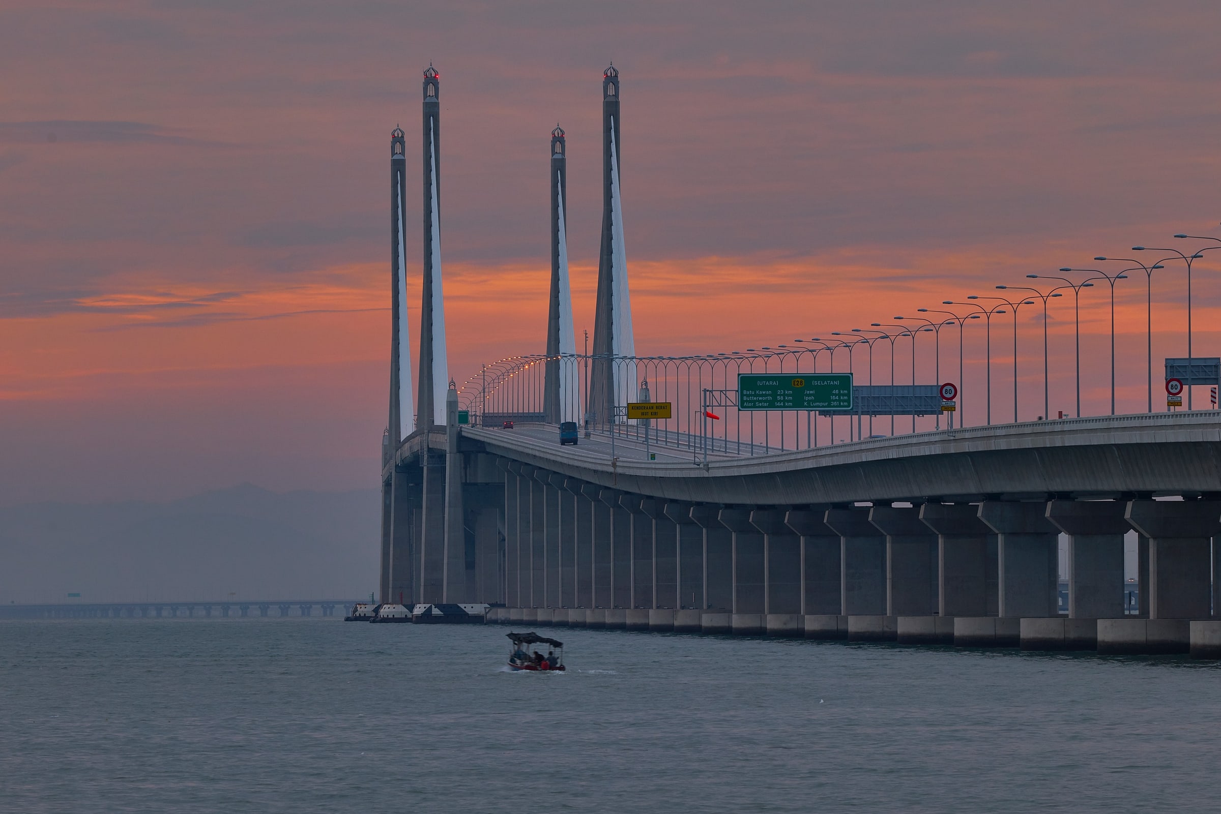
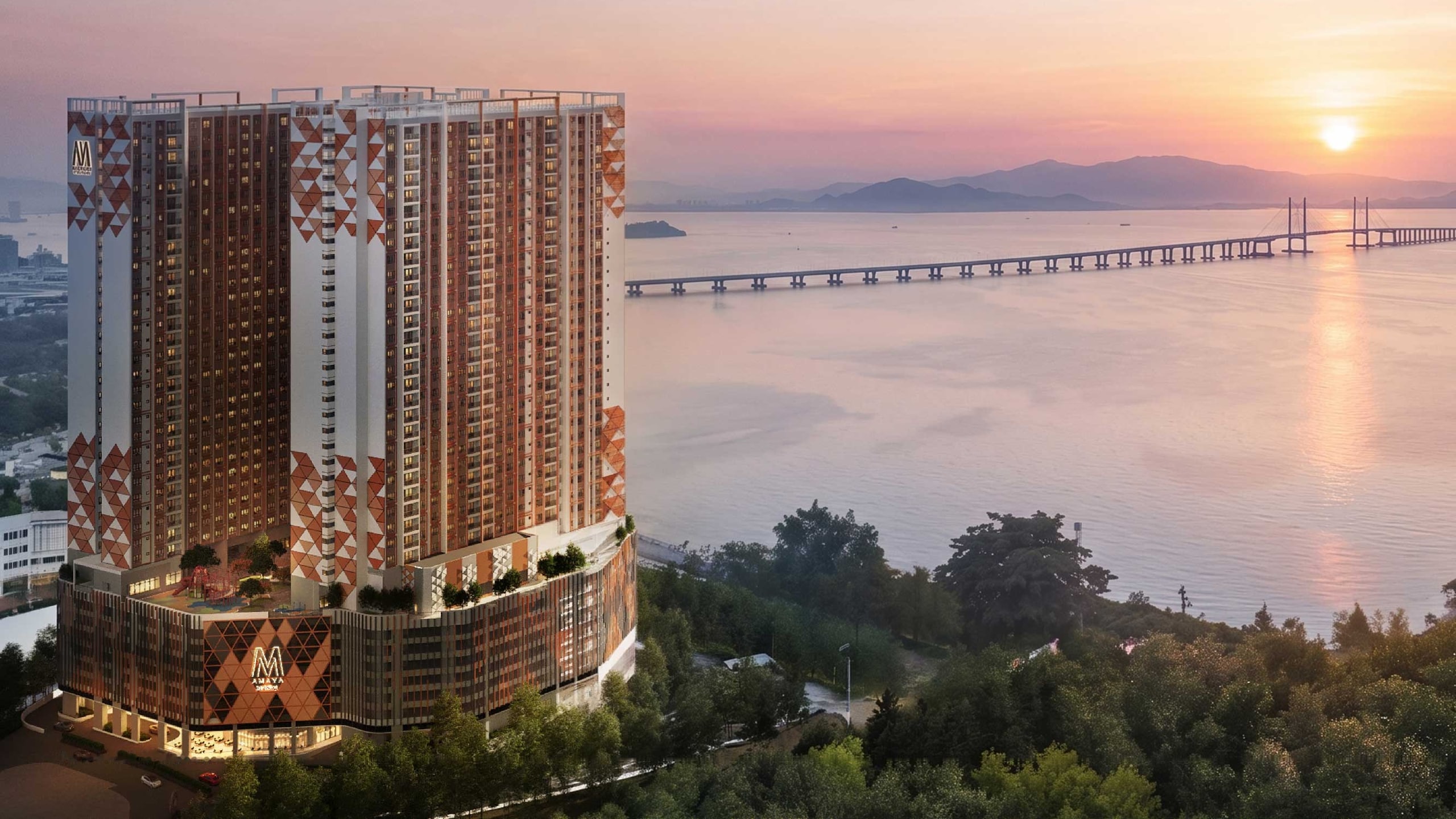
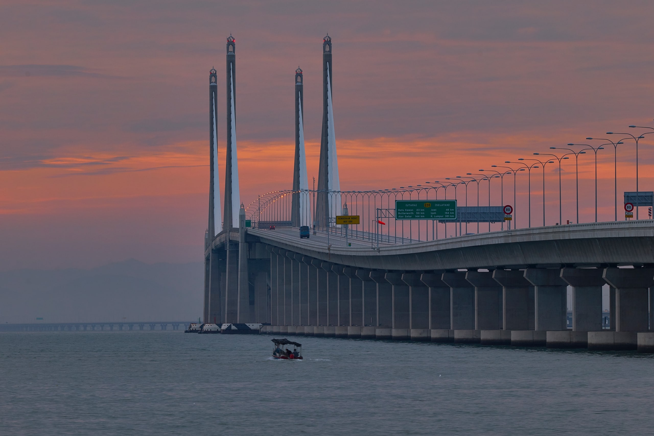
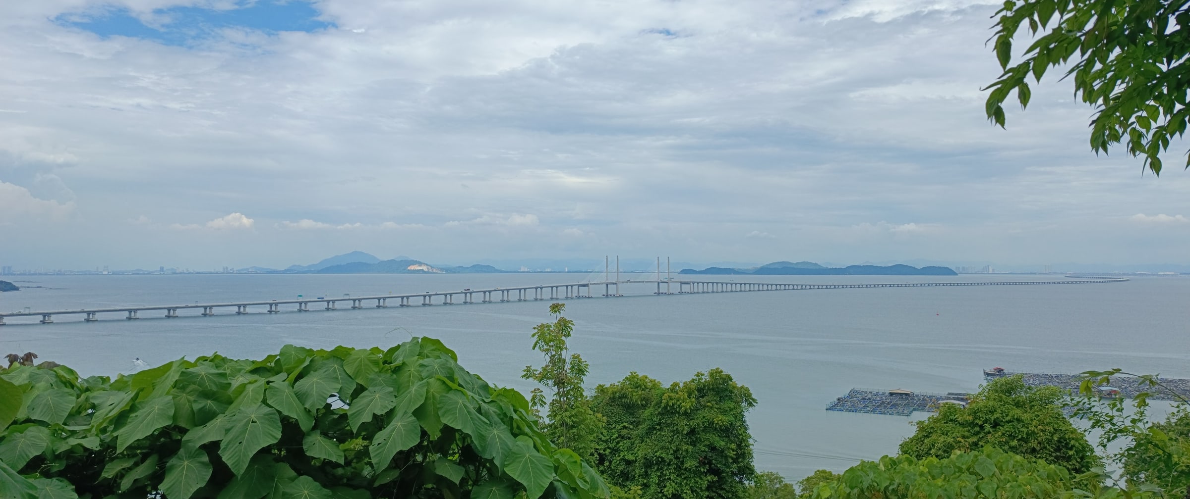
The Second Penang Bridge runs 24 km from Batu Kawan on the mainland to Batu Maung, 16.9 km of it over water. It opened in March 2014 and is still the longest bridge in Malaysia.
What it means day to day is choice. The rest of the peninsula starts at Southbay's doorstep, without the drive up the island to the first bridge. The toll is charged one way only — on the way onto the island, at the Batu Kawan plaza — so leaving by the bridge costs nothing.
The trade-off is the one every bridge landing brings: traffic heading for the crossing at the peaks. Kevin will tell you what the approach is like at the hours you would actually drive.
- 900m Second Bridge landingFrom Southbay, on the developer's sheet
- 24km Bridge length16.9 km of it over water
- 2014 OpenedStill Malaysia's longest bridge
Chapter 3
The zone
The Bayan Lepas Free Industrial Zone opened in 1972, 900 m from where M Amaya now stands.
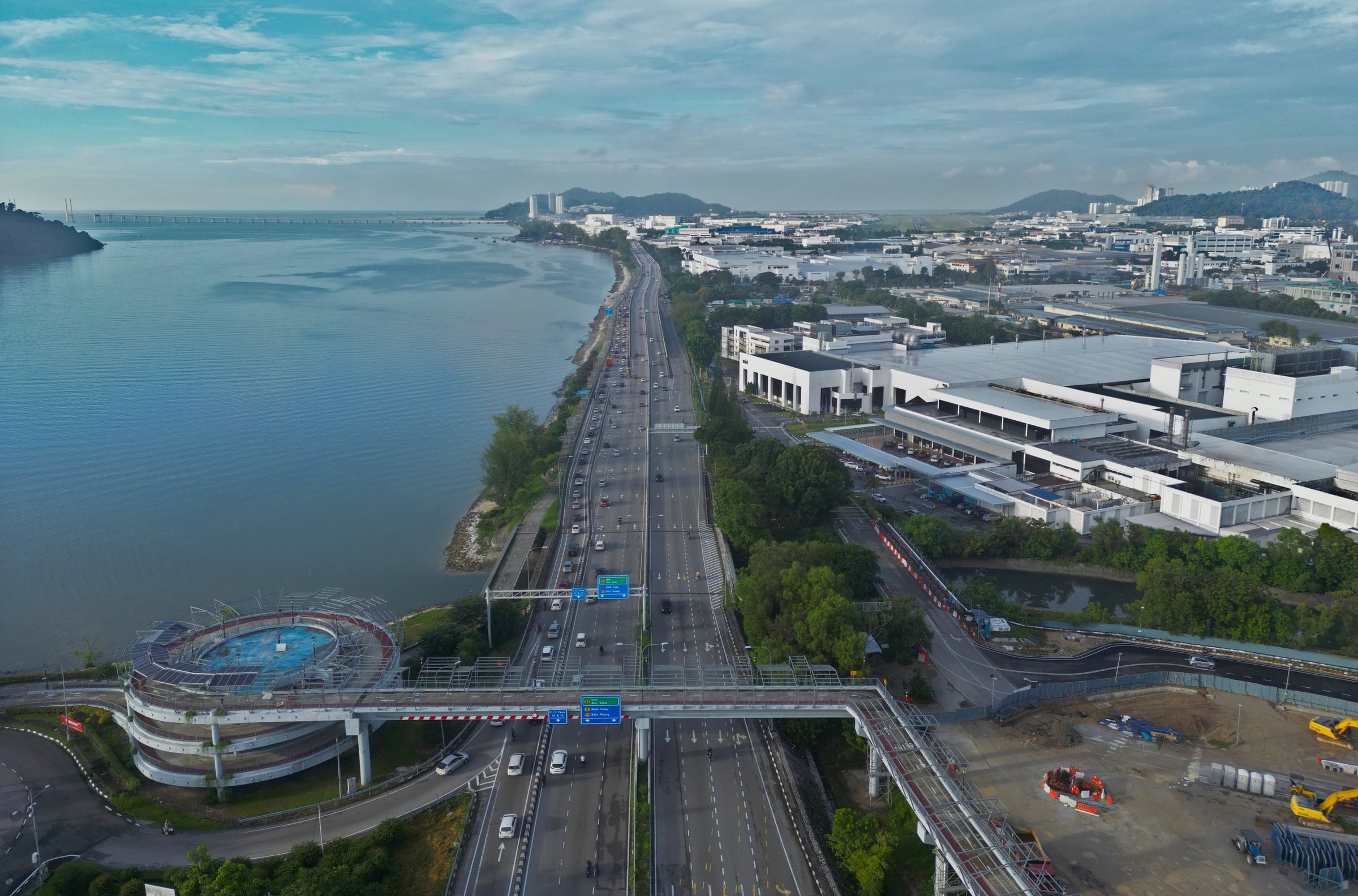
It is widely recorded as Malaysia's first free trade zone. The companies that came in the early 1970s — Intel, AMD, Hewlett-Packard, National Semiconductor, Hitachi, Clarion and Bosch among them — are why Penang became the centre of Malaysia's electronics industry, and why so much of the island's workforce lives in the south.
The story is still moving. Penang drew RM22.4 billion of approved manufacturing investment in 2025, 17% of Malaysia's total, and exported RM574 billion of goods — about 36% of the country's.
For you, that is proximity, stated as distance: the zone is 900 m away and the airport 7.3 km, which matters to anyone whose work involves regional travel. It is not a rent, a yield or a resale figure. Nobody has evidence for those, so this site doesn't publish them.
- 1972 OpenedMalaysia's first free trade zone
- 900m From SouthbayOn the developer's sheet
- RM22.4bn Penang, 2025Approved manufacturing investment
Chapter 4
Getting around
Plan on a car. The expressway and the bridge start at the district's edge; the railway is being built.
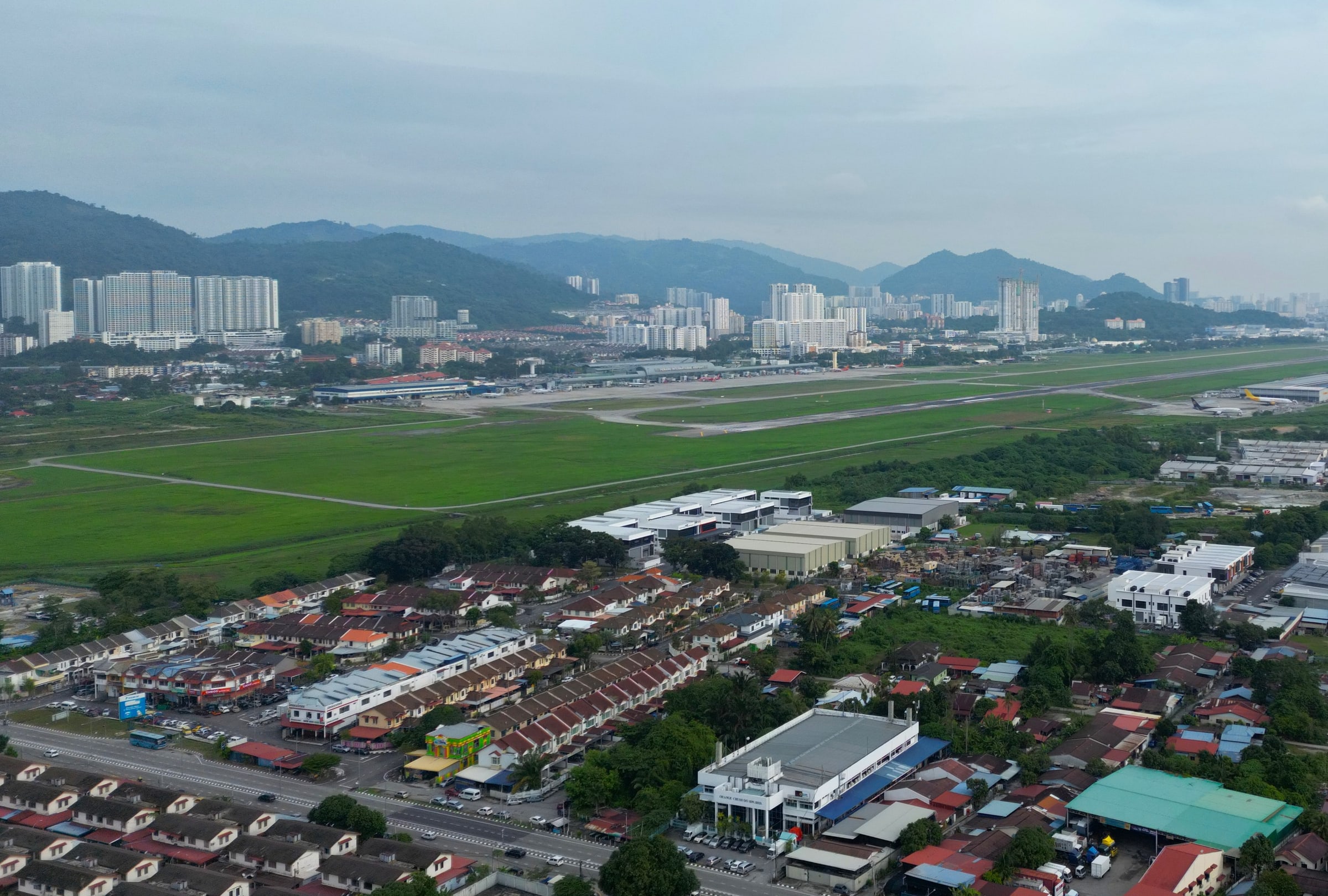
The Tun Dr Lim Chong Eu Expressway runs 17.84 km up the east coast from the Batu Maung junction to George Town, past the Penang Bridge interchange; the developer describes its access from Southbay as direct. The Second Bridge landing is 900 m away, and the airport 7.3 km.
The Mutiara Line is the change coming. About 29.7 km from Silicon Island to Komtar, with a sea link to Penang Sentral, its nearest station to Batu Maung is Permatang Damar Laut (S02), 4.6 km from Southbay. Ground was broken in January 2025, the line was 8.99% built as at June 2026, and opening is targeted for December 2031.
Until then there is the bus — Rapid Penang's route 302 runs to Weld Quay in George Town — and the developer's stated plan for a shuttle van to the LRT station, Queensbay Mall and the airport, which is a future service, not one you can use today.
- Direct Expressway accessTun Dr Lim Chong Eu Expressway
- 4.6km LRT station S02Permatang Damar Laut Under construction
- 2031 Targeted opening8.99% built as at June 2026 Targeted
Chapter 5
Daily life
Three decisions every household makes, answered with the developer's own distances.
The short errand is easy: Southbay Plaza is next door. The weekly shop is a drive — Giant Bayan Baru at 6.5 km, Queensbay Mall at 8.0 km. The nearest hospital is Pantai Hospital Penang at 6.3 km.
Schools run from SJK(C) Wen Khai at 2.1 km to the international options between 7.8 and 11.6 km, with Universiti Sains Malaysia at 10.1 km.
Distances are the developer's. Drive times depend on the hour — tell Kevin yours and he'll give you real ones.
The school run
- SJK(C) Wen Khai 2.1 km
- SJKC Kwang Hwa 7.5 km
- Straits International School 7.8 km
- INTI International College 9.2 km
- Universiti Sains Malaysia 10.1 km
- Fairview International School 11.6 km
The weekly shop
- Southbay Plaza Adjacent
- Giant Bayan Baru 6.5 km
- Sunshine Square 7.5 km
- Queensbay Mall† 8.0 km
- Lotus's E-Gate 10.3 km
- Gurney Plaza 19.7 km
When someone is unwell
- Pantai Hospital Penang 6.3 km
- Lam Wah Ee Hospital 14.3 km
Chapter 6
The decade
Much of the case for this corner is about the 2030s. Here is what is built, what is being built, and what is only targeted.
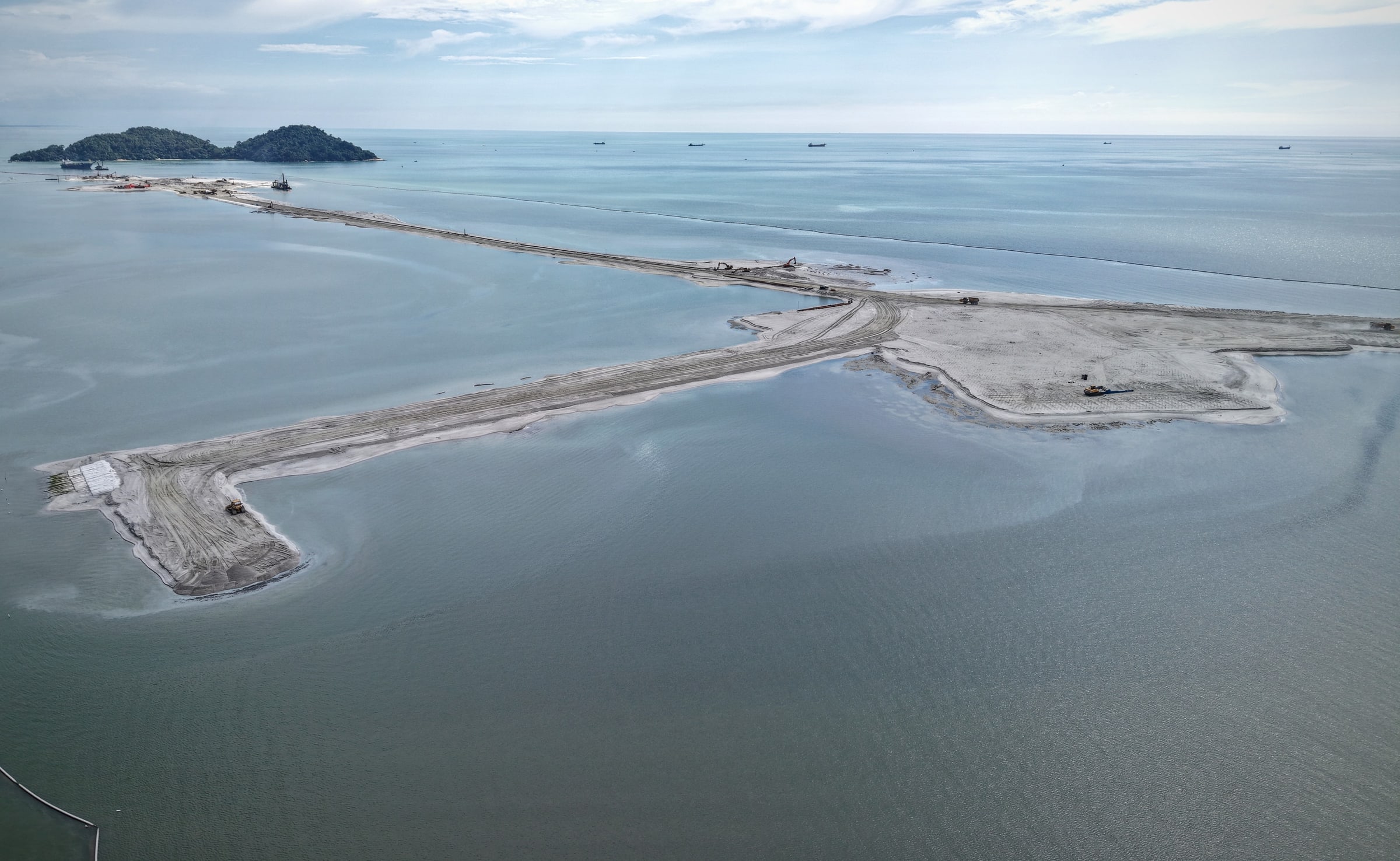
Silicon Island is the largest of the three. Reclamation of a new island off Permatang Damar Laut began in September 2023; the state reported about 133.5 ha reclaimed as at March 2026, with Phase One — 513.95 ha — targeted for 2031. A 380 m marine viaduct is due to open to the public by December 2028, and the Mutiara Line's main depot is planned on the island.
It is also contested. Fishing communities and NGOs challenged the planning approval; the Court of Appeal dismissed their appeal in June 2026, as filed out of time. A buyer should know both sides.
M Amaya's own completion is targeted for 2030. The sale and purchase agreement carries the binding date.
- 4.0km Silicon IslandFrom Southbay, on the developer's sheet
- 133.5ha ReclaimedAs at March 2026 Under construction
- 2031 Phase OneTargeted by the state Targeted
- 1972 The Bayan Lepas zone opens Open
- 2014 The Second Bridge opens Open
- 2023 Silicon Island reclamation begins Under construction
- 2025 Mutiara Line construction begins Under construction
- Jun2028 Airport expansion Targeted
- 2030 M Amaya completes Targeted
- 2031 Silicon Island, Phase One Targeted
- Dec2031 The Mutiara Line opens Targeted
Chapter 7
Who it suits, and who it doesn't
This corner rewards a particular kind of buyer. Here is who that is — and who it isn't.
It suits you if
- you work in or near the Bayan Lepas zone, or fly out of Penang often;
- you value the bridge and the expressway more than a walk to the shops;
- you are happy to drive for the weekly shop;
- your timeline absorbs a 2030 completion.
It suits you less if
- you need to move in soon;
- you want to live without a car now;
- your shortlist is built around George Town.
What this site won't tell you
Rents, yields or how fast a unit resells. Nobody has that evidence, so neither do we. What it can tell you: who works nearby, what is being built and when, and what a home here costs to hold.
Chapter 8
The flagship
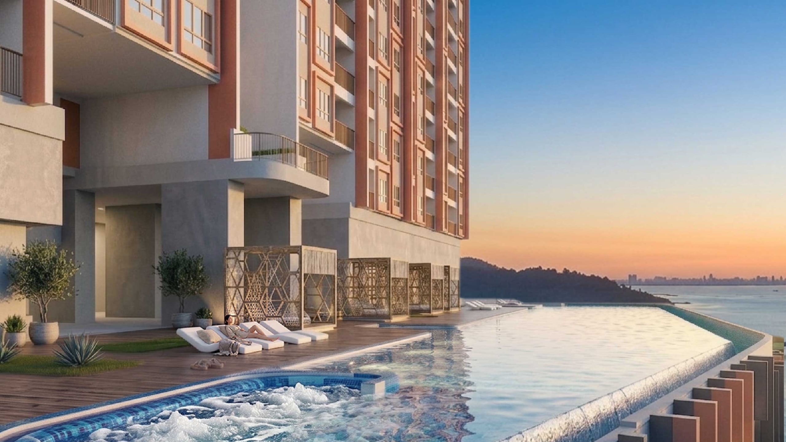
Two 37-storey towers at Southbay, on the coastal side of Batu Maung, 900 m from the bridge landing.
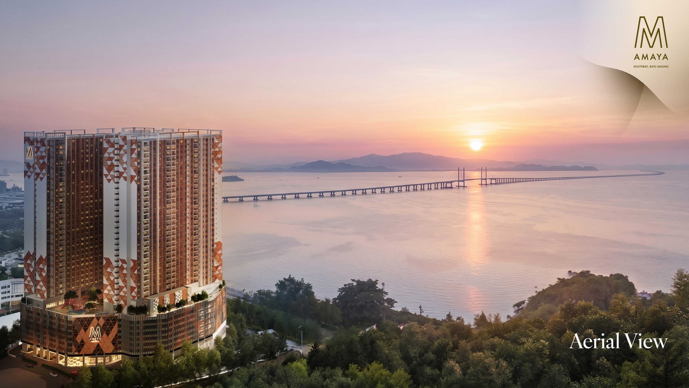
M Amaya is 833 freehold serviced apartments by Vienna View Development, a Mah Sing subsidiary, over a facilities deck of 41 items on Level 8. Five layouts run from 721 to 1,432 sq ft.
Types A and B are 632 of the 833 homes, which is why most decisions start there.
From RM489K
Type A · 721 sf- 833Homes, two towersFreehold
- 2030Completion targetedThe SPA carries the binding date
Five questions about Batu Maung
What is Batu Maung known for?
Batu Maung is the south-eastern tip of Penang Island and still a working fishing coast — LKIM's fisheries complex, the national Fisheries Research Institute and WorldFish's headquarters are all here. It is known for the Second Bridge landing, the Penang War Museum on its hill, and its place next to the Bayan Lepas Free Industrial Zone.
How far is Batu Maung from the airport and George Town?
The developer's amenity sheet gives Penang International Airport at 7.3 km and Komtar / George Town at 17 km from Southbay. Drive times depend on the hour — tell Kevin yours and he'll give you real ones.
What is the LRT plan for Batu Maung?
The Mutiara Line will run about 29.7 km from Silicon Island to Komtar, with a sea link to Penang Sentral. Its nearest station to Batu Maung, Permatang Damar Laut (S02), is 4.6 km from Southbay. Ground was broken in January 2025, the line was 8.99% built as at June 2026, and opening is targeted for December 2031.
What is Penang Silicon Island?
Silicon Island is a new island being reclaimed off Permatang Damar Laut, about 4 km from Southbay. Work began in September 2023; about 133.5 hectares had been reclaimed as at March 2026, with Phase One of 513.95 hectares targeted for 2031. For now it is a reclamation under way, not a district.
Is Batu Maung freehold territory?
Tenure is a per-title question, not a district-wide one, so this site answers it per project rather than for Batu Maung as a whole. M Amaya is stated as freehold by its developer; any other property's tenure should be confirmed from its own title.
Speak to Kevin
See the corner with Kevin.
The bridge landing, the zone, the plaza and the site itself — a drive round Batu Maung makes the map real. Kevin can take you.

Kevin Lee
Kevin Lee · REN 14973 · FLP Realty Sdn Bhd · E(1) 1718
Kevin replies personally. Your details are never sold — the privacy notice says what he receives and why. Privacy notice