Where M Amaya sits
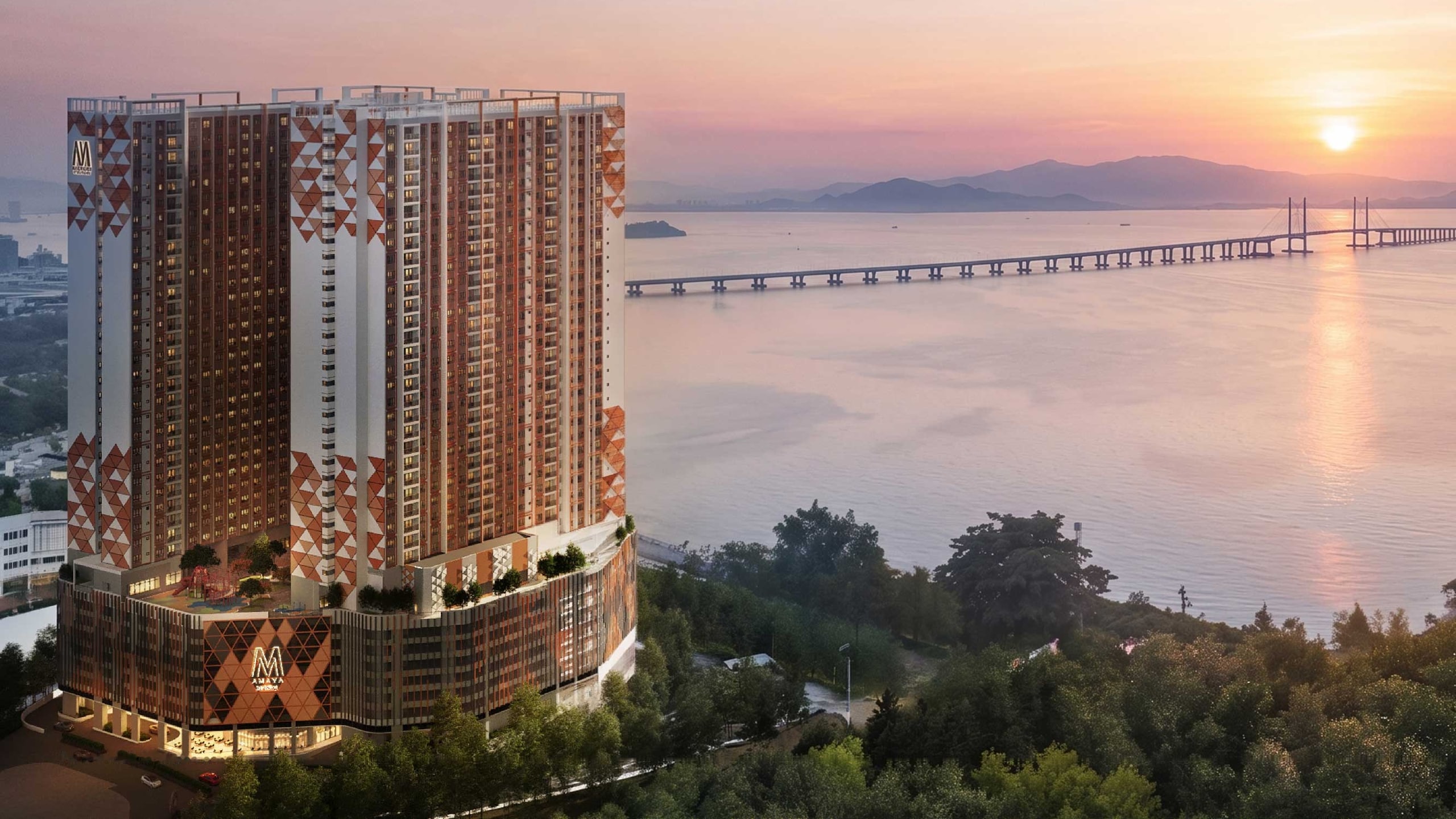
M Amaya sits at Southbay on the coast of Batu Maung, Penang's south-east tip — 900 m from the Second Bridge landing, with the Bayan Lepas Free Industrial Zone next door and the Silicon Island reclamation offshore.
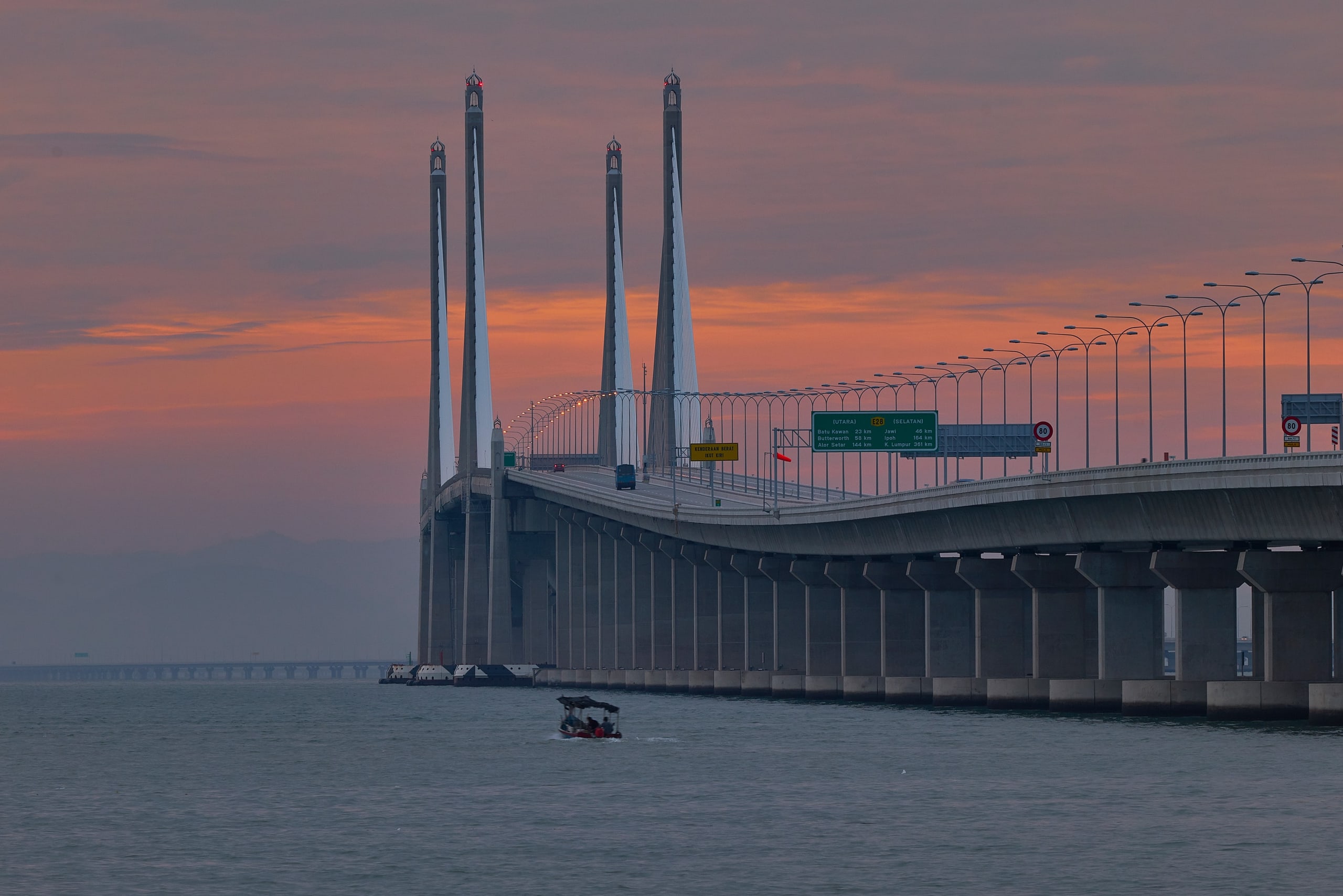
- 900m Penang Second Bridge
- 900m Bayan Lepas Free Industrial Zone
- Adjacent Southbay Plaza
- Direct Tun Dr Lim Chong Eu Expressway access
- 4.6km LRT S02 Permatang Damar Laut Under construction
- 7.3km Penang International Airport†
Every distance
Every distance on the developer's amenity sheet, by group. Drive times depend on the hour — tell Kevin yours and he'll give you real ones.
Roads and transport5
Schools6
- SJK(C) Wen Khai 2.1 km
- SJKC Kwang Hwa 7.5 km
- Straits International School 7.8 km
- INTI International College 9.2 km
- Universiti Sains Malaysia 10.1 km
- Fairview International School 11.6 km
Retail and daily needs6
- Southbay Plaza Adjacent
- Giant Bayan Baru 6.5 km
- Sunshine Square 7.5 km
- Queensbay Mall† 8.0 km
- Lotus's E-Gate 10.3 km
- Gurney Plaza 19.7 km
Healthcare2
- Pantai Hospital Penang 6.3 km
- Lam Wah Ee Hospital 14.3 km
Things to do6
- Penang War Museum 1.5 km
- SPICE Arena 8.0 km
- Bukit Jambul Golf Club 9.1 km
- Penang Waterfront Convention Centre 11.2 km
- Karpal Singh Drive 14.0 km
- Komtar / George Town 17.0 km
Work2
- Bayan Lepas Free Industrial Zone 900 m
- Penang Silicon Island 4.0 km
Where the developer's own material differs
The developer's corporate page states a different figure. Sales Kit p.14 gives 7 km and the p.15 satellite view gives 8 km; the developer's corporate project page states 1.5 km, which is inconsistent with the developer's own sheet. Page 16 is the most specific source, so 7.3 km is what we publish.
About 7-8 km depending on the source: Sales Kit p.14 and both developer sites give 7 km, while the p.16 amenities sheet gives 8.0 km.
The developer's amenity sheet lists Penang First Bridge at 10 km; its location map labels Penang Bridge at 26.2 km. The table follows the amenity sheet. The reason for the difference is not established.
What's here today. What's coming, and when.
The rail line, the reclaimed island and the building itself, each with its status.
- 1972 The Bayan Lepas zone opens Widely recorded as Malaysia's first free trade zone, 900 m from Southbay. Open
- 2014 The Second Bridge opens 24 km to Batu Kawan on the mainland. Still Malaysia's longest bridge. Open
- 2023 Silicon Island reclamation begins About 133.5 ha reclaimed as at March 2026. Under construction
- 2025 Mutiara Line construction begins Ground broken January 2025; 8.99% built as at June 2026. Under construction
- Jun2028 Airport expansion Capacity from 6.5 to 12 million passengers a year, targeted June 2028. Targeted
- 2030 M Amaya completes The developer's target for 833 freehold homes at Southbay. Targeted
- 2031 Silicon Island, Phase One 513.95 ha, targeted by the state. Targeted
- Dec2031 The Mutiara Line opens Permatang Damar Laut (S02) is 4.6 km from Southbay. Targeted
Dates are those published by the bodies responsible. Targeted means targeted — the sale and purchase agreement carries M Amaya's binding date.
Getting there today
Access is by road. The Tun Dr Lim Chong Eu Expressway runs up the east coast from the Batu Maung junction to George Town, and the Second Bridge landing is 900 m away, so the mainland crossing starts at the district's doorstep rather than across the island. The airport is 7.3 km.
The Mutiara Line is under construction. Its nearest station, Permatang Damar Laut (S02), is 4.6 km from Southbay, with opening targeted for December 2031 — until then, plan on a car. The developer also states a future shuttle van to the LRT station, Queensbay Mall and the airport; ask Kevin how that is shaping up before you count on it.
As issued by the developer
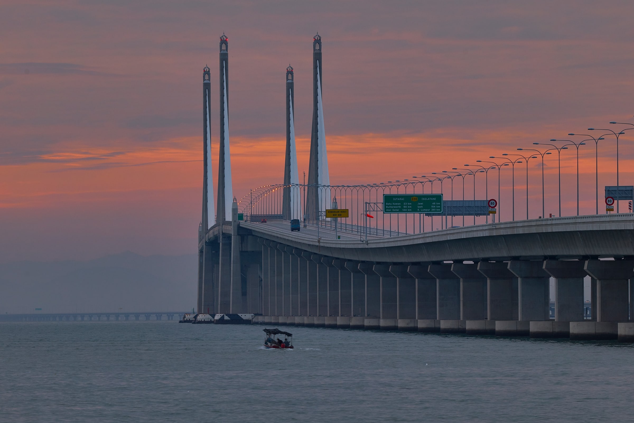
The developer's strategic-location sheet, complete and uncropped. Its badge distances are as printed; the tables above follow the amenity sheet.
As issued by the developer · Tap to enlarge
Speak to Kevin
See the site and the corner in person.
Kevin can walk you round Southbay — the plaza next door, the bridge landing, the drive to the zone — so the distances become real.

Kevin Lee
Kevin Lee · REN 14973 · FLP Realty Sdn Bhd · E(1) 1718
Kevin replies personally. Your details are never sold — the privacy notice says what he receives and why. Privacy notice