
Terms
Terms, sources and accessibility
Last updated 25 September 2026.
Terms of use
This website provides property information and advisory content. It is not an offer, an invitation to treat, or a contract, and nothing on it forms part of any sale and purchase agreement. Packages, availability, specifications and completion dates are the developer's own and are the developer's to change.
Information here is general. It is not legal, tax, financial or immigration advice, and it does not replace advice from a conveyancing lawyer, a licensed financial adviser or the relevant authorities.
Sources
Every material fact on this site comes from one of the following, each recorded with its date:
- M Amaya Sales Kit — developer material, 45 pages, supplied 23 August 2026
- M Amaya project FAQ — developer material, 5 pages, supplied 23 August 2026
- M Amaya sales package — developer material, 3 pages, supplied 23 August 2026 (prices and package terms)
- Owner price record — held by the owner of this site
- Regulatory and locality material — official programme and State sources for MM2H and foreign-acquisition content, with each statement's authority, evidence status and date shown on the page that carries it (checked 27 August 2026)
Source documents are not republished here: their facts are extracted, dated and attributed instead. Area facts from published reports — the LRT, Silicon Island, the airport and the Second Bridge among them — carry their dates wherever they appear.
Images and renders
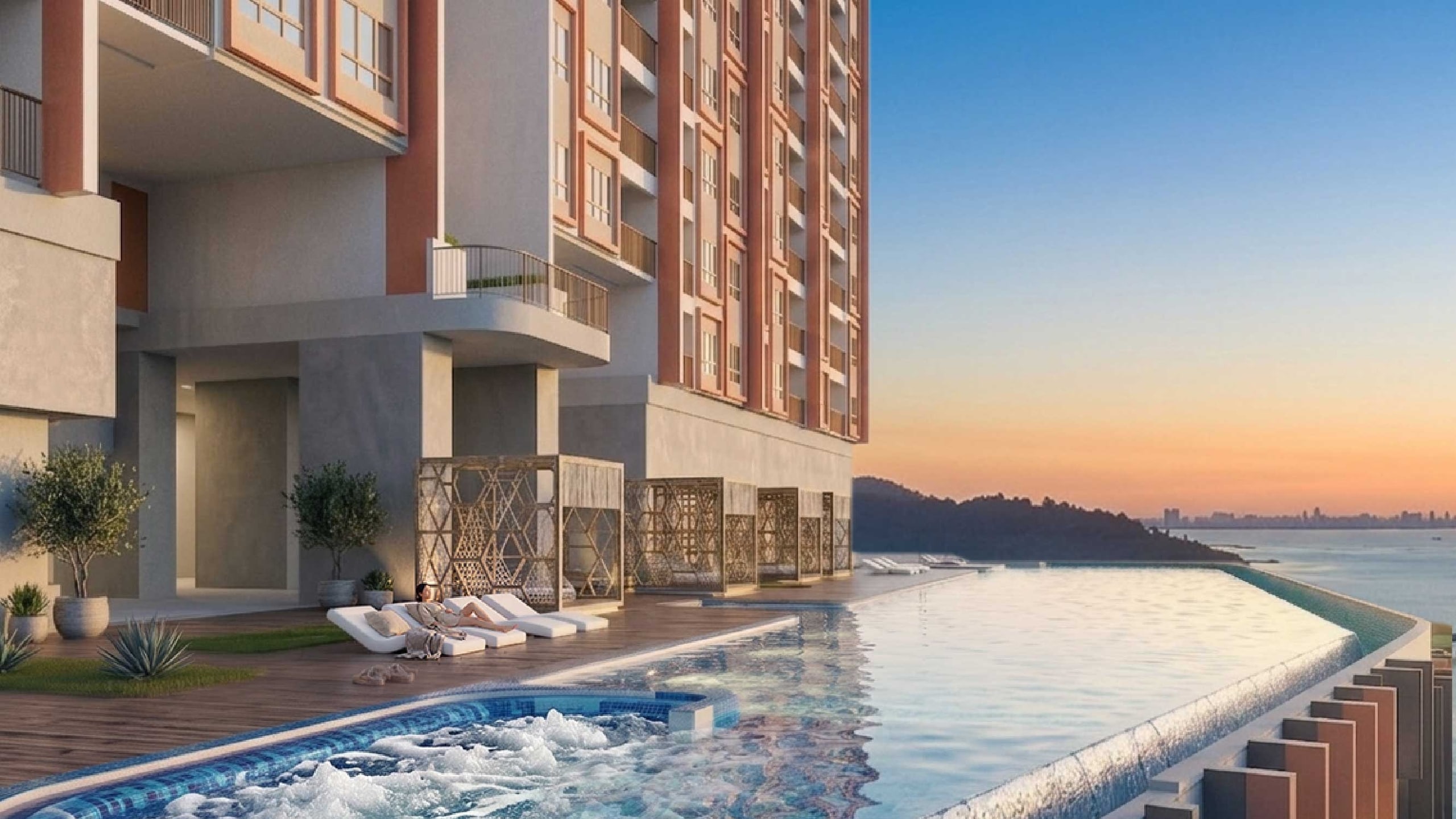
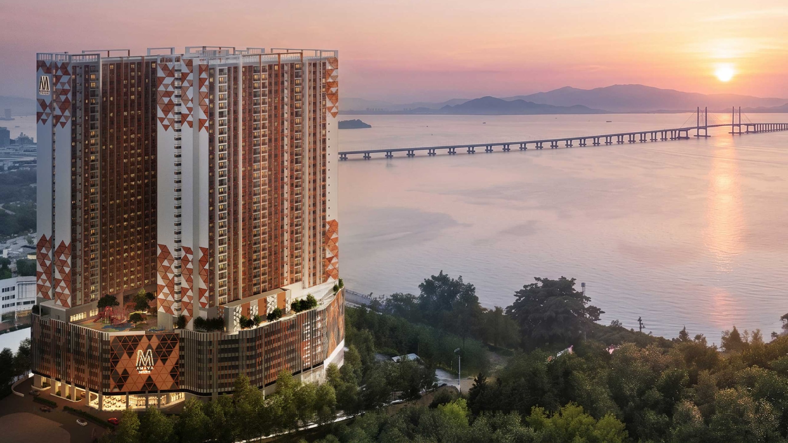
All project imagery is the developer's material, supplied by the owner of this site for use on it. Every render is an artist's impression and every plan is a developer marketing plan; each is labelled where it appears, and each opens complete, as issued. The strategic-location map is the developer's own sheet, published complete and uncropped. Renders are not photographs of a completed building — completion is targeted for 2030. Copyright in the project imagery remains with Mah Sing Group Berhad and Vienna View Development Sdn Bhd. Photographs of Batu Maung and its surroundings are the work of Wikimedia Commons contributors, used under the Creative Commons licences named in each page's credits; they show the places named in their captions, never the M Amaya site. The maps are drawn for this site from OpenStreetMap data (© OpenStreetMap contributors, ODbL) with relief from Copernicus DEM elevation data.
Photograph credits
The photographs of Batu Maung are licensed works from Wikimedia Commons, used under the Creative Commons licence shown for each. Each is resized for the web; page layouts crop some for composition, and the full view shows the image complete. None is otherwise altered.
| Photograph | Author | Licence |
|---|---|---|
| The Second Bridge from Bukit Batu Maung, where the War Museum stands. | LEE 003 · Wikimedia Commons | CC BY 4.0creativecommons.org/licenses/by/4.0/ |
| Batu Maung from the air, looking toward the Second Bridge landing and Pulau Jerejak. | HundenvonPenang · Wikimedia Commons | CC BY-SA 4.0creativecommons.org/licenses/by-sa/4.0/ |
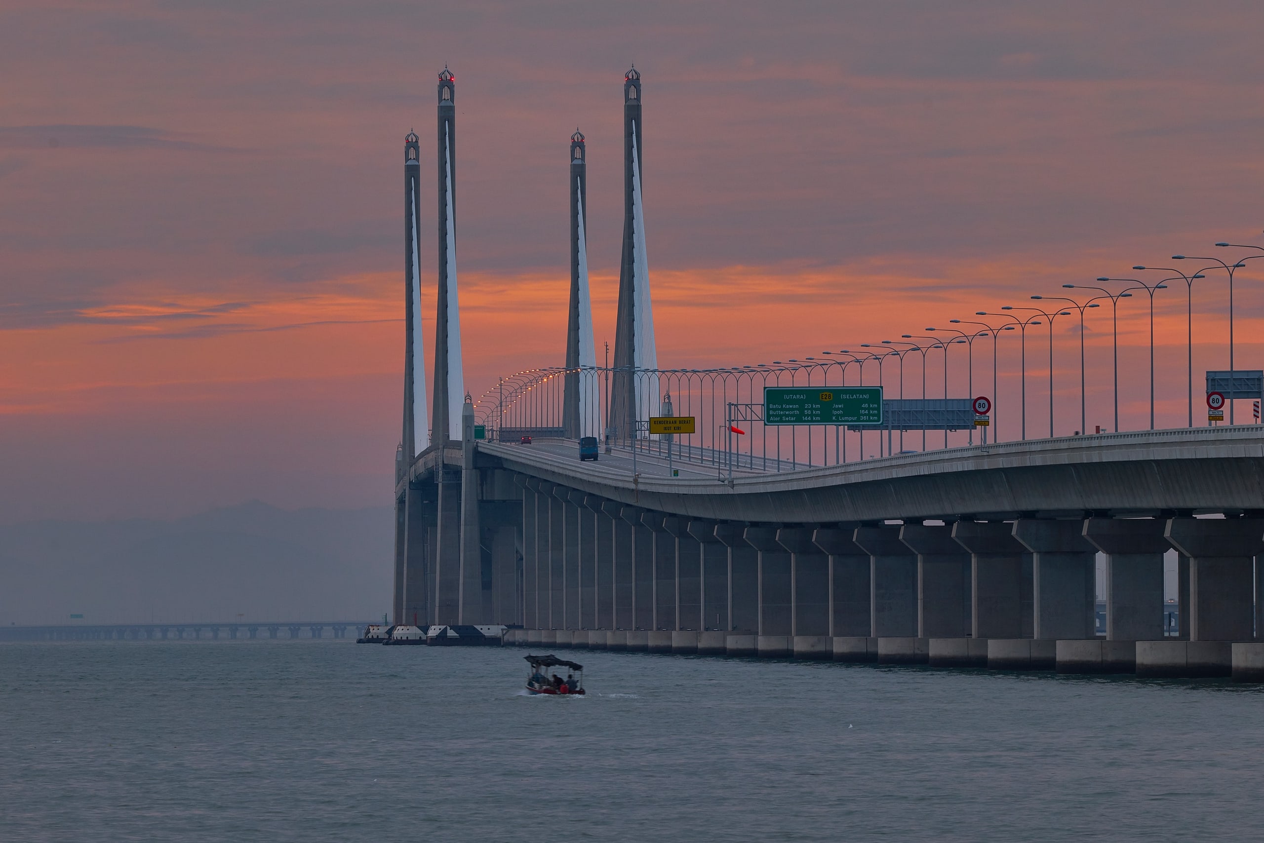
| The Second Bridge's cable-stayed main span at dawn. | Christopher Harriot · Wikimedia Commons | CC BY 2.0creativecommons.org/licenses/by/2.0/ |
| The expressway south past the Bayan Lepas zone, toward Batu Maung. | HundenvonPenang · Wikimedia Commons | CC BY-SA 4.0creativecommons.org/licenses/by-sa/4.0/ |
| Silicon Island as it stood in December 2024: a reclamation under way. | HundenvonPenang · Wikimedia Commons | CC BY-SA 4.0creativecommons.org/licenses/by-sa/4.0/ |
| Penang International Airport from the south. | HundenvonPenang · Wikimedia Commons | CC BY-SA 4.0creativecommons.org/licenses/by-sa/4.0/ |
| The south-east corner in one sweep: the airport, the hills and the Second Bridge. | Cmglee · Wikimedia Commons | CC BY-SA 4.0creativecommons.org/licenses/by-sa/4.0/ |
| Permatang Damar Laut, with the reclamation offshore. | HundenvonPenang · Wikimedia Commons | CC BY-SA 4.0creativecommons.org/licenses/by-sa/4.0/ |
| The fishing jetty at Batu Maung. | Marufish · Wikimedia Commons | CC BY-SA 2.0creativecommons.org/licenses/by-sa/2.0/ |
| The Sam Poh Footprint Temple on the Batu Maung shore. | Marufish · Wikimedia Commons | CC BY-SA 2.0creativecommons.org/licenses/by-sa/2.0/ |
| A gun emplacement at the 1930s fort, now the Penang War Museum. | LEE 003 · Wikimedia Commons | CC BY 4.0creativecommons.org/licenses/by/4.0/ |
| Pulau Jerejak, across the channel from Batu Maung. | Marufish · Wikimedia Commons | CC BY-SA 2.0creativecommons.org/licenses/by-sa/2.0/ |
Maps
Map © OpenStreetMap contributors (ODbL 1.0). Relief: Copernicus DEM GLO-30 © DLR e.V. 2010–2014 and © Airbus Defence and Space GmbH 2014–2018, provided under COPERNICUS by the European Union and ESA.
Corrections
If a fact here is wrong, tell Kevin on +6013-3398686. Corrections are made at the source record, so every page carrying that fact is updated together, and the change is dated.
Accessibility statement
This site targets WCAG 2.2 level AA. In practice that means: every page has one main landmark, a skip link and a logical heading order; all functionality works from the keyboard, including the floor-plan viewer, the photo viewer and the mobile menu; focus is always visible and never hidden behind a sticky element; text contrast is checked against the AA thresholds by an automated gate on every build; images carry meaningful alternative text and floor plans carry a written room schedule as their text equivalent; nothing depends on colour alone; tables scroll inside a labelled container rather than forcing the page sideways; and the layout reflows to a 320 px viewport and survives 400% zoom.
Known limitations. Floor plans are raster drawings from the developer: the room schedule beside each one is their text equivalent, but the drawing itself cannot be read by a screen reader. Screen-reader testing to date covers VoiceOver on macOS and iOS.
If something here is hard to use, message Kevin on +6013-3398686 and it will be fixed. You never need to explain why.
Disclosure
This is an independent property advisory website operated by FLP Realty Sdn Bhd (Agency Registration E(1) 1718) through Kevin Lee (REN 14973). It is not the developer's official website. Project particulars, specifications and completion dates come from material supplied by the developer through the owner of this site, and are the developer's own. Where the developer's material states a fact two different ways, both are published with the difference noted.